Portolan charts by Pietro Vesconte
Type:
Maps and plans
Date:
1313
Location or Findspot (Modern-Day Country):
Italy
Medium:
Parchment
Dimensions:
48 × 40 cm per sheet
Description:
The Genoese cartographer Pietro Vesconte (fl. 1311–27) is responsible for the oldest signed and dated nautical chart, or portolan chart, of the Middle Ages (1311). Portolan charts have distinctive navigational aids in the form of lines emanating from compass roses.
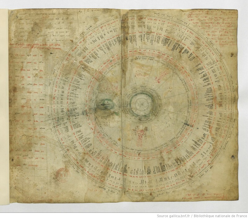
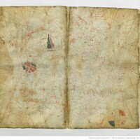
Reproduced here is part of Vesconte's 1313 multi-sheet nautical atlas of the Mediterranean and Black Sea. The first sheet includes, among other things, a lunar calendar and representations of the zodiac. The cartographer's signature is at the bottom right. The second sheet focuses on the Black Sea and the Sea of Marmara, which connects the Black Sea to the Aegean.
Reproduced here is part of Vesconte's 1313 multi-sheet nautical atlas of the Mediterranean and Black Sea. The first sheet includes, among other things, a lunar calendar and representations of the zodiac. The cartographer's signature is at the bottom right. The second sheet focuses on the Black Sea and the Sea of Marmara, which connects the Black Sea to the Aegean.
Relevant Textbook Chapter(s):
9


