Madaba Map
Type:
Maps and plans,
Mosaics,
Pavements
Date:
Mid-sixth century
Location or Findspot (Modern-Day Country):
Jordan
Description:
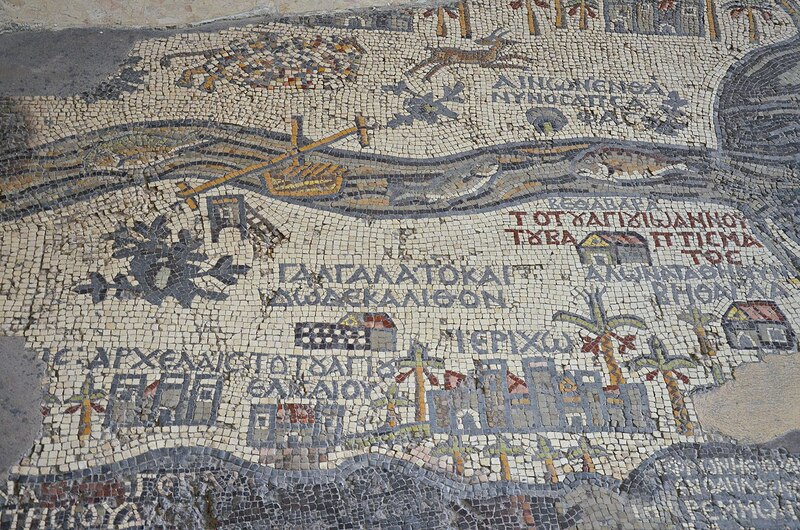
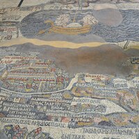
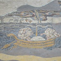
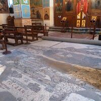
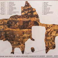
A courtroom setting has been proposed as the original location of the unique mosaic floor map now housed in a nineteenth-century church in Madaba (Jordan). The map has been dated to the mid-sixth century, based on its representation of certain churches (e.g., the Nea built by Justinian in Jerusalem, consecrated 543) and stylistic similarity to nearby pavements. Unlike the maps we use today, its goal was not to portray precise geographical or topographical features but to emphasize Christian and Madaban concerns.
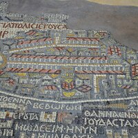
Its bird's-eye view of the Holy Land extends today only from the Galilee to the Nile and from the Mediterranean Sea to Jordan, but originally it was larger, perhaps including all of Turkey and Egypt. The eastern regions are toward the top. Jerusalem, identified as the "Holy City" (Hagiopolis), is the largest city, its major churches identifiable along the main porticoed streets still preserved from the Roman city plan and in part still visible today.
Over 150 inscriptions in Greek identify major and minor sites, both contemporary and historical, including the domains of the twelve tribes of the Hebrew Bible and occasional New Testament venues. Although the mosaic has been assumed to reflect a Christian world view and even to have served as a pilgrimage guide, it fits poorly in its church setting both physically and conceptually, and the quantity of inscriptions distinguishes it from the region's many church pavements. The map therefore may have served a secular function, demonstrating the power base of the literate local ruling class: if its original spatial setting was oriented north–south, Madaba was depicted at the center.
Relevant Textbook Chapter(s):
3
Repository and Online Resources:
• For drawings of the Madaba map with labels, visit the Biblical Archaeology Society Online Archive.
Image Credits:
Wikimedia Commons
Tags:
Western Asian,
Byzantine,
Greek,
Late Antique,
Ideology,
Christian
