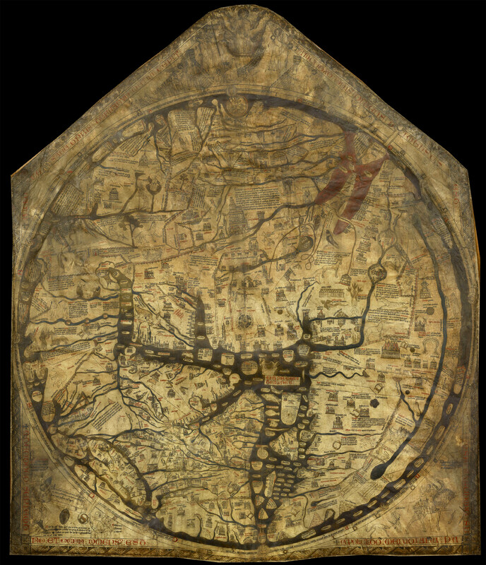
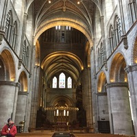
Hereford Mappa Mundi
Type:
Maps and plans
Date:
ca. 1300
Location or Findspot (Modern-Day Country):
United Kingdom
Medium:
Parchment
Dimensions:
1.59 × 1.3 m
Description:
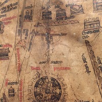
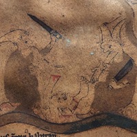
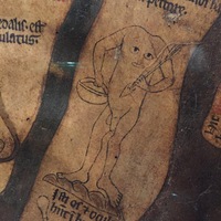
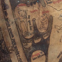
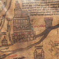
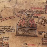
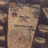
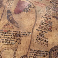
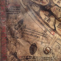
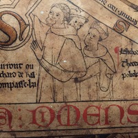
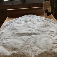
The largest surviving medieval mappa mundi was made around 1300 and is still on display at Hereford Cathedral. It was commissioned by the Hereford bishop Richard Swinfield (r. 1282–1317) and was illustrated on a single calfskin. The map is covered with miniature cities and labels. At the center of the circular world is Jerusalem and the image of the crucified Christ. "Monstrous" races inhabit the edges of the map, including cannibals and Blemyae with mouths and eyes in their chests. Gorilla-like creatures (labeled "Simea") inhabit the part of the world corresponding to Sweden. The map is oriented with east at the top and north to the left, and its largest body of water is the Mediterranean. Christ sits at the peak of the overall pentagonal shape of the parchment, where he surveys, but remains apart from, all of creation.
Relevant Textbook Chapter(s):
9
Repository and Online Resources:
• Explore the interactive Hereford Mappa Mundi website.
Image Credits:
Linda Safran
